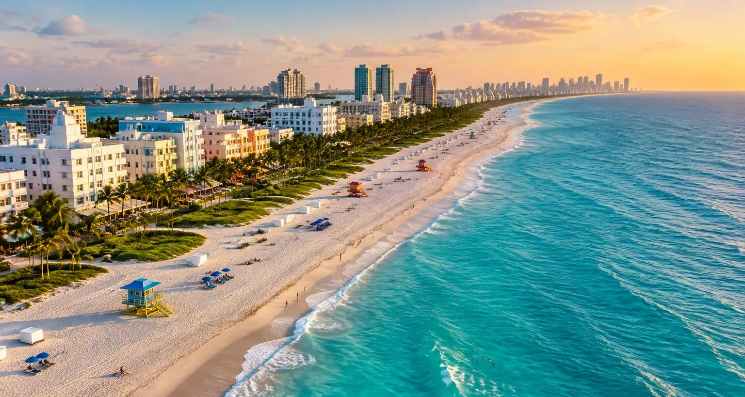
Miami’s coastline is not one beach but a chain of very different shorelines, from the busy sand beside Ocean Drive to quieter parks on Key Biscayne. Matching the beach to the kind of day you want matters more than finding a single “best” one.
Illustrative imagery, not photographs of specific locations. Independent editorial planning advice, not a business endorsement.
Know the main shoreline areas
South Beach, on the southern end of Miami Beach, puts the Atlantic next to the Art Deco District; Lummus Park runs along the sand beside Ocean Drive. Further north, Miami Beach continues toward Haulover Park and the communities of northern Miami-Dade.
Across the Rickenbacker Causeway, Key Biscayne is home to Crandon Park and Bill Baggs Cape Florida State Park, which offer a more park-like setting. Each managed park sets its own entry, parking and opening arrangements; check them directly before you travel.
Read the flags before you swim
Florida beaches use colored warning flags. Green indicates low hazard, yellow medium hazard and red high hazard; a double red flag means the water is closed to the public, and a purple flag warns of dangerous marine life such as jellyfish. Conditions can change during the day.
Swim near a lifeguard stand when one is staffed and follow lifeguard instructions. A calm-looking surface does not rule out rip currents. Bring water, shade and sun protection, and plan the walk back to transport with wet gear in mind.
About the beaches listed here
The beaches below are mapped in OpenStreetMap and passed automated checks for name, location and source. Some long beaches are mapped as several separate sections, which is why a name can appear more than once with different map records.
CLICK.MIAMI does not rate beaches or publish water-quality data. For current conditions, use official park and county sources on the day of your visit.
Sources & current visitor information
Neighborhood facts are based on the sources below. Access, transport, weather and individual venue details can change; confirm them directly before visiting.
Beaches mapped in Greater Miami
Real places. Local discoveries.
Names, addresses and websites come from OpenStreetMap and passed automated data checks. They have not been visited or independently verified by CLICK.MIAMI — confirm details and opening status before you go.
Data © OpenStreetMap contributors, available under the Open Database License (ODbL).