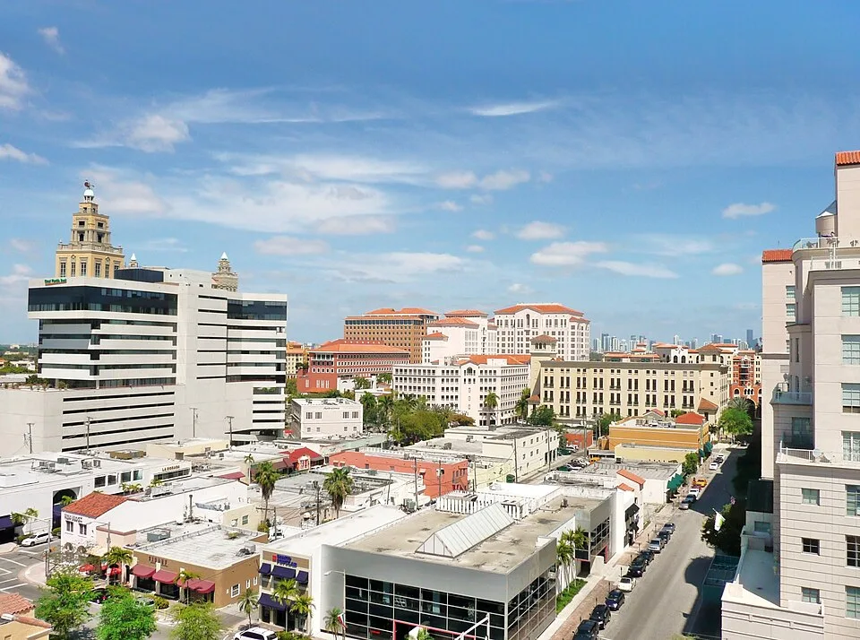
Coral Gables — neighborhood photograph, not an event or venue photograph · Phillip Pessar · CC BY 2.0 · Wikimedia Commons source

Editorial updated 2026-11-06
Coral Gables is a separate city in Miami-Dade County, with a Mediterranean Revival architectural identity, shopping streets and cultural destinations. It offers a mainland alternative to the beach and Miami’s high-rise center.
Licensed neighborhood scene; not an event photograph. Independent editorial planning advice, not a business endorsement.
Start around the downtown streets
Miracle Mile is a recognized shopping and dining stretch in downtown Coral Gables. A walk around this area works as a city visit, not a beach itinerary.
Look at the architecture from public sidewalks and choose a compact route. The Coral Gables Museum offers a separate way to explore the city’s built environment; check its current visitor information before entering.
Choose a distinct destination
Venetian Pool is a historic swimming facility in Coral Gables, not an ocean beach. Access, seasonal operation and rules are set by the city; do not assume a visit is possible just because the site is mapped.
Fairchild Tropical Botanic Garden is another destination in the Coral Gables area. A garden visit needs its own time and current admission information, rather than being treated as a brief addition to a shopping walk.
Mainland planning
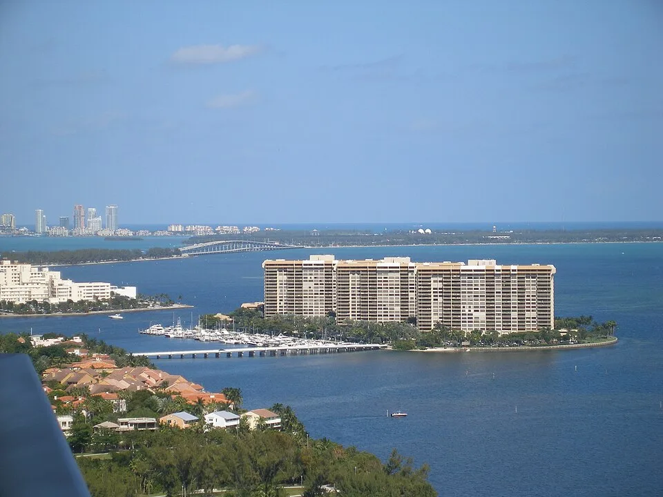
Coral Gables is west of Coconut Grove and south of central Miami. Use a map and current transit information when combining stops; this guide does not promise travel times.
Bring water and keep an indoor alternative for heat or rain. Venue records below come from open data and may be absent where no licensed venue photographs are available; the guide does not create substitute listings.
Sources & current visitor information
Neighborhood facts are based on the sources below. Access, transport, weather and individual venue details can change; confirm them directly before visiting.
Upcoming visitor events
Coral Market: Vintage Daydream
Coral Gables Merrick House · Coral Gables
Vince x SB Trunk Show: A Season of Style
Vince, Coral Gables · Coral Gables
Foundations: 26/27 Season Opener
St. Bede Chapel · Coral Gables
Bitter Christmas
Coral Gables Art Cinema · Coral Gables
Art Coral Gables: Miami Art Week Panel Discussion Series
Coral Gables Art Cinema · Coral Gables
Public transit stops in the mapped area
- ANASTASIA AV & ANDERSON RD · bus
- ANASTASIA AV & ANDERSON RD · bus
- ANASTASIA AV & COLUMBUS BD · bus
- ANASTASIA AV & COLUMBUS BD · bus
- ANASTASIA AV & CORDOVA ST · bus
- ANASTASIA AV & CORDOVA ST · bus
Miami-Dade County Department of Transportation and Public Works · Official GTFS snapshot. Stops lie inside approximate editorial area bounds; this is not a complete route planner or live arrivals feed.