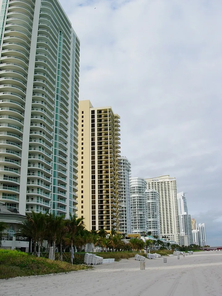
North Beach — neighborhood photograph, not an event or venue photograph · Daniel Christensen · CC BY-SA 3.0 · Wikimedia Commons source

Editorial updated 2026-11-06
North Beach occupies the northern part of Miami Beach, with an Atlantic shoreline and a neighborhood setting around streets, parks and public spaces. It is distinct from North Miami Beach, a separate mainland municipality.
Licensed neighborhood scene; not an event photograph. Independent editorial planning advice, not a business endorsement.
Get the location right
Start by checking that your destination is in North Beach on Miami Beach, not North Miami Beach on the mainland. Similar names can send a beach plan in the wrong direction.
The oceanfront Beachwalk connects stretches of Miami Beach. Pick a local starting point and public beach access on a current map instead of attempting to cover the island in one walk.
Beach and neighborhood time
North Beach Oceanside Park offers a park setting beside the shoreline. Park rules, facilities and access can change, so use the City of Miami Beach information before planning a specific visit.
The Miami Beach Bandshell is an established outdoor performance venue in North Beach. A venue’s presence does not mean a performance is scheduled today: use the current visitor calendar and the organizer’s own event page.
Keep conditions in the plan
Follow beach flags and lifeguards, and bring water and sun protection. Official forecast and coastal alerts are more useful for deciding when to swim than a photograph of calm water.
Allow for the transfer if you continue to South Beach or the mainland. Confirm current transport options, and do not confuse a nearby map marker with a guaranteed short walk.
Sources & current visitor information
Neighborhood facts are based on the sources below. Access, transport, weather and individual venue details can change; confirm them directly before visiting.
Upcoming visitor events
Beaver Full Moon: Yoga, Sound Healing & Drum Circle
80th Street Lifeguard Stand · North Beach
Public transit stops in the mapped area
- 69 St & Abbott Ave · bus
- 71 ST & BAY DR · bus
- 71 ST & BIARRITZ DR · bus
- 71 ST & BYRON AV · bus
- 71 ST & DICKENS AV · bus
- 71 ST & INDIAN CREEK DR · bus
Miami-Dade County Department of Transportation and Public Works · Official GTFS snapshot. Stops lie inside approximate editorial area bounds; this is not a complete route planner or live arrivals feed.