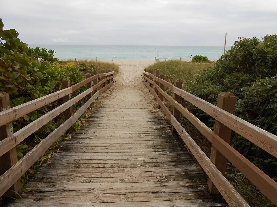
Mid-Beach — neighborhood photograph, not an event or venue photograph · Gustavo de la Sota · CC BY-SA 3.0 · Wikimedia Commons source

Editorial updated 2026-11-06
Mid-Beach lies north of South Beach along Miami Beach’s Atlantic shoreline. Collins Avenue and the oceanfront hotels give this stretch a different rhythm from Ocean Drive: beach time and a coastal walk, rather than an Art Deco checklist.
Licensed neighborhood scene; not an event photograph. Independent editorial planning advice, not a business endorsement.
A shoreline beyond South Beach
The Miami Beach Beachwalk links sections of the oceanfront through South Beach, Mid-Beach and North Beach. Use signed public access points to reach the sand; hotel terraces and pool areas are not public beach entrances.
Choose a manageable stretch for a walk, keeping the heat and return journey in mind. Mid-Beach is on the barrier island, not beside mainland neighborhoods such as Wynwood or Brickell.
Make the beach the main plan
The Atlantic is the focus here. Check posted flags and lifeguard instructions before entering the water, and use the official NWS coastal alerts below when planning your day. Tide predictions describe water levels, not swimming safety.
If you combine the beach with a restaurant or cultural visit, confirm that place’s hours and access directly. The open-map listings below are source records, not recommendations or availability guarantees.
Moving along the island
Collins Avenue is a useful orientation line, but walking along it and walking the Beachwalk are different experiences. Check a map for crossings and access rather than assuming every hotel frontage connects to the ocean.
Public transit stop information comes from Miami-Dade’s official GTFS data on individual venue pages. Consult current schedules before travel; this guide does not estimate fares or promise journey times.
Sources & current visitor information
Neighborhood facts are based on the sources below. Access, transport, weather and individual venue details can change; confirm them directly before visiting.
Places in Mid-Beach
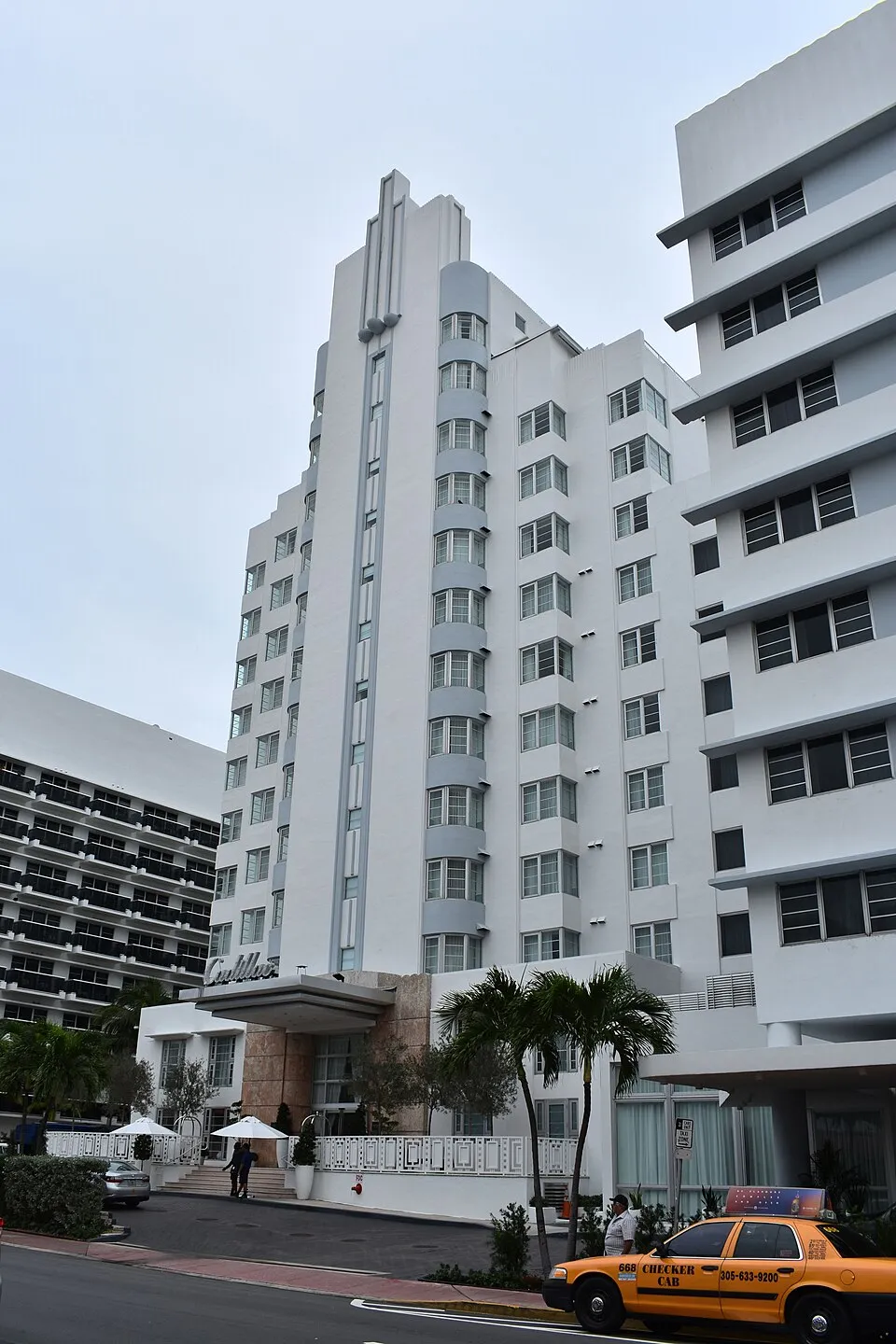
Cadillac Hotel & Beach Club
Mid-Beach · 3921 Collins Avenue Miami Beach 33140
A hotel in Mid-Beach, mapped on OpenStreetMap. Street address recorded by OpenStreetMap contributors.
No reviews yet
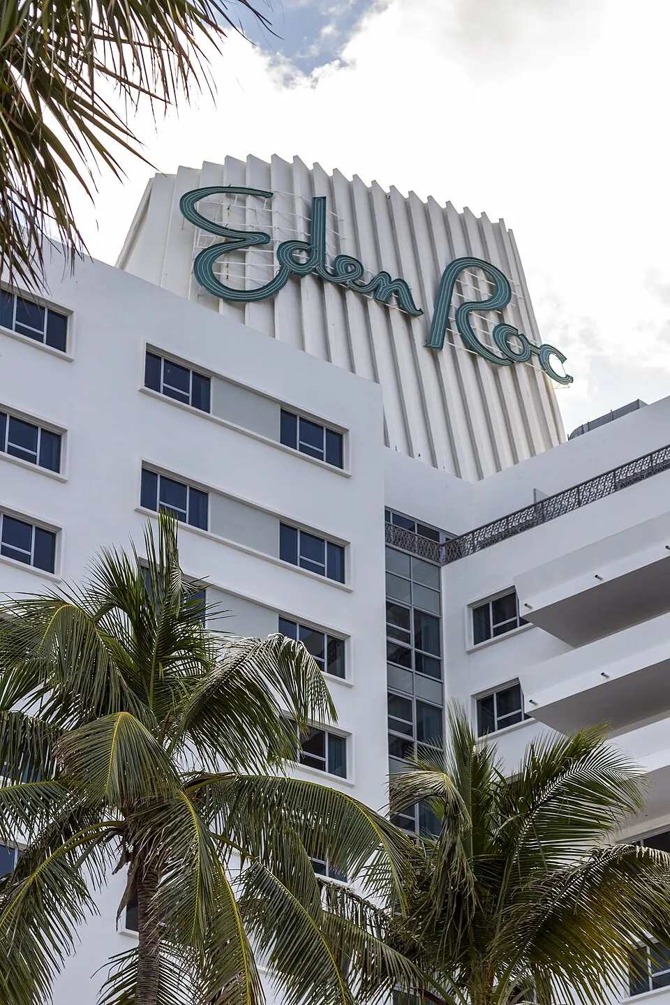
Eden Roc Resort Miami Beach
Mid-Beach · 4525 Collins Avenue Miami Beach 33140
A hotel in Mid-Beach, mapped on OpenStreetMap. Street address recorded by OpenStreetMap contributors.
No reviews yet
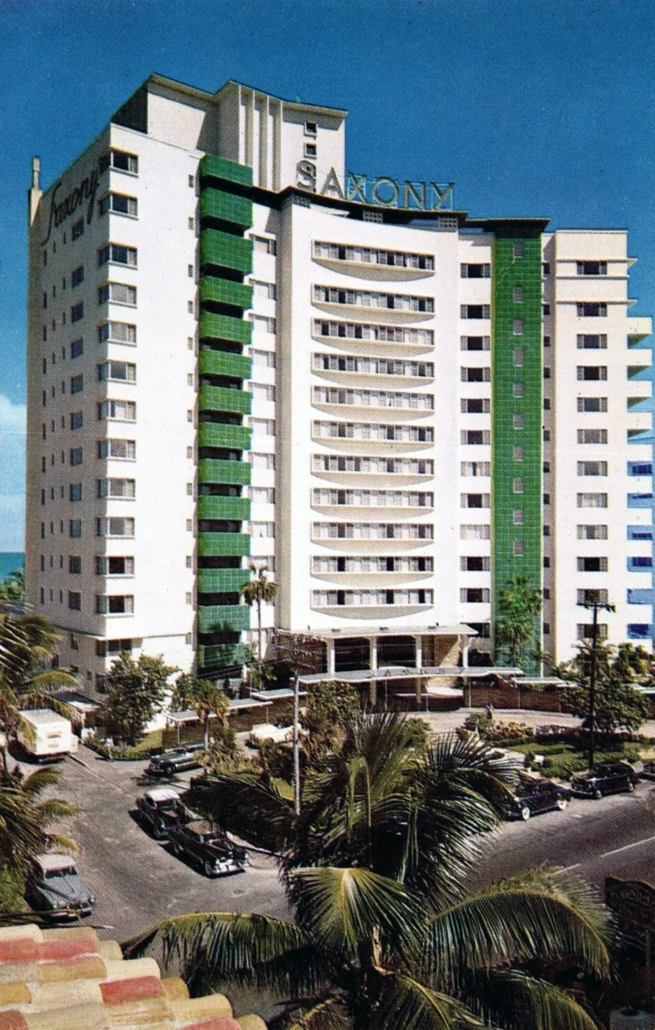
Faena Hotel
Mid-Beach · 3201 Collins Avenue Miami Beach 33140
A hotel in Mid-Beach, mapped on OpenStreetMap. Street address recorded by OpenStreetMap contributors.
No reviews yet
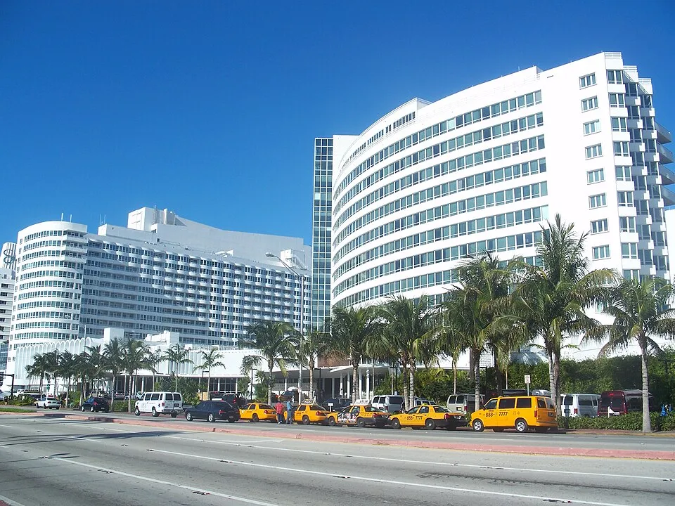
Fontainebleau
Mid-Beach · 4441 Collins Avenue Miami Beach 33140
A hotel in Mid-Beach, mapped on OpenStreetMap. Street address recorded by OpenStreetMap contributors.
No reviews yet
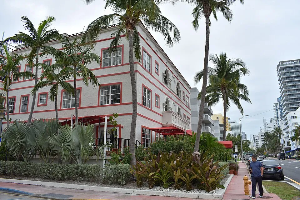
Casa Faena
Mid-Beach · 3500 Collins Avenue Miami Beach 33140
A hotel in Mid-Beach, mapped on OpenStreetMap. Street address recorded by OpenStreetMap contributors.
No reviews yet
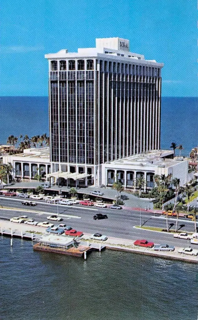
Miami Beach Resort Spa
Mid-Beach · 4833 Collins Avenue Miami Beach 33140
A hotel in Mid-Beach, mapped on OpenStreetMap. Street address recorded by OpenStreetMap contributors.
No reviews yet
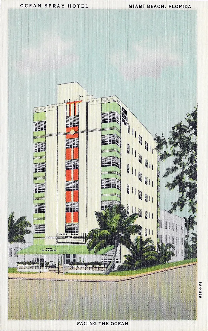
Ocean Spray Hotel
Mid-Beach · 4130 Collins Avenue Miami Beach 33140
A hotel in Mid-Beach, mapped on OpenStreetMap. Street address recorded by OpenStreetMap contributors.
No reviews yet
Red South Beach Hotel
Mid-Beach · 3010 Collins Avenue Miami Beach 33140
A hotel in Mid-Beach, mapped on OpenStreetMap. Street address recorded by OpenStreetMap contributors.
No reviews yet
Data © OpenStreetMap contributors · ODbL · automated checks, not independent verification.
Public transit stops in the mapped area
- 41 ST & ALTON RD · bus
- 41 ST & ALTON RD · bus
- 41 ST & MERIDIAN AV · bus
- 41 ST & MERIDIAN AV · bus
- 41 ST & PINETREE DR · bus
- 41 ST & PRAIRIE AV · bus
Miami-Dade County Department of Transportation and Public Works · Official GTFS snapshot. Stops lie inside approximate editorial area bounds; this is not a complete route planner or live arrivals feed.